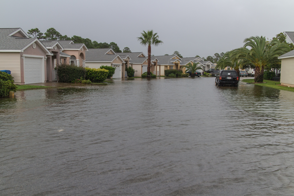
The Philippines’ wet season is characterized by heavy rains, which can cause floods. Flooding in residential or urban areas hampers access to necessities and people’s mobility in addition to causing costly property damage.
So, besides the features, amenities, and price, it’s wise to check if the General Trias house and lot for sale you’re eyeing is in a flood-free area. Before you seal the deal, learn how to check if an area is a flood zone.
How to Identify Flood Prone Areas
Floods and other natural disasters can cause thousands-worth of property destruction on top of disruption of people’s livelihood. This is why it’s wise to first assess the hazard levels in an area before investing in a house. Here are a few things you can do to check if an area is a flood zone:
Understand the Topography
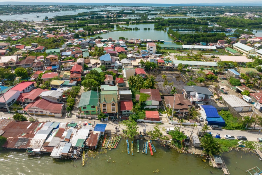
You could start your examination of the property’s tendency to flood by looking it up on Google Maps or surveying physically. At the most basic level, check if the area is near a body of water or if it is a low-lying area.
Rivers and other bodies of water rise during periods of heavy rainfall and spill over to neighboring locations, so residential areas near them usually have a higher tendency to get flooded.
Another thing to consider is if the location is in a low-lying area. Low-lying areas are more prone to flooding since water can accumulate at the bottom as it flows down from higher areas.
The topography of the area should give you a hint at its tendency to flood.

Check the Drainage System in the Area
You don’t need to dive into the drainage system in the area but be aware of the drainage systems in the area when you go for a visit. Scan the location to see if there are natural drainage, man-made drainage systems, and garbage in or around these drainage systems.
The presence of natural drainage systems is a good sign because it means that water can follow its natural course, and so will not likely flood your residential area.
Take a quick peek at the drainage systems in the area as well to check if they’re flowing well. If they’re always full, it means that the systems are clogged somewhere and thus, will not be able to handle a larger volume of water.
Your home’s geography will not matter if the drainage systems around you are clogged – water will most likely build up easily with just a small amount of rain.
Ask The Current Residents
When you visit the area, it would be a great idea to ask residents of the area if they experience floods and how often they do. Ask them if water easily rises in the area and how high it gets.
The current residents have first-hand, historical experience of flooding in the area, and can be trusted to provide accurate information about flood-prone areas in Cavite.
You may also ask the residents if the nearby roads get flooded as well. Sometimes, even if your house doesn’t get flooded, you could still be affected by its effects. You may not be able to go to work or school if the streets nearby are unpassable.
Dive Into History
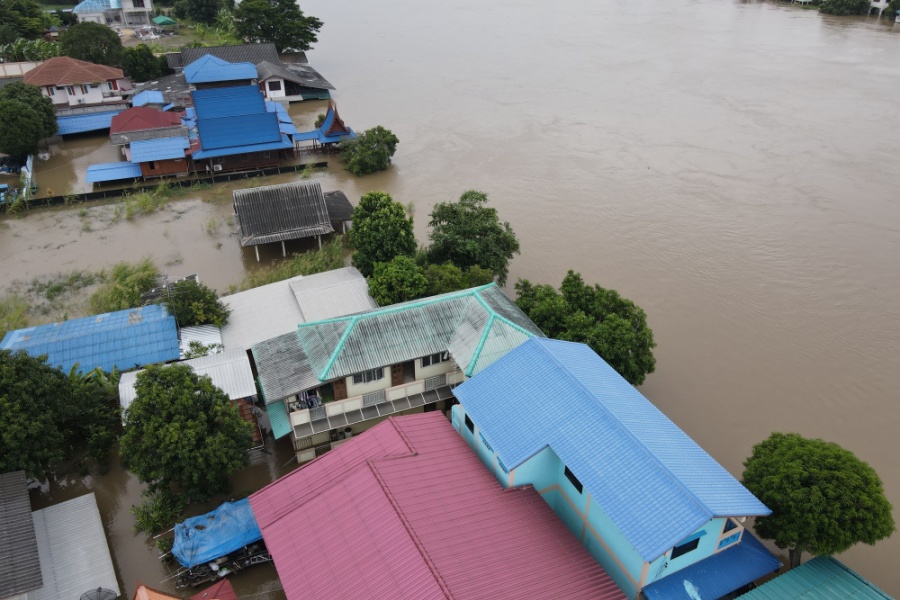
Learning about the history of the area can help shed light on how prone it is to floods. Apart from proximity to bodies of water, you may learn if the area used to be a body of water that has since been reclaimed. If the area used to be a creek, there is a chance for it to become a creek again years from now, thus affecting the longevity of the property.
By learning about the municipality’s and/or barangay’s history, you may also learn about the infrastructural issues in the area that may also cause flooding. For example, some locations are well-known to have poorly functioning drainage systems that easily clog up and cause floods. Living near such areas would be inconvenient since even a few inches of flood could lead to heavy traffic.
Researching the history of the area may also reveal any efforts by the government to curb floods in the area, which can help ease your concerns.
Look into Flood Hazard Maps
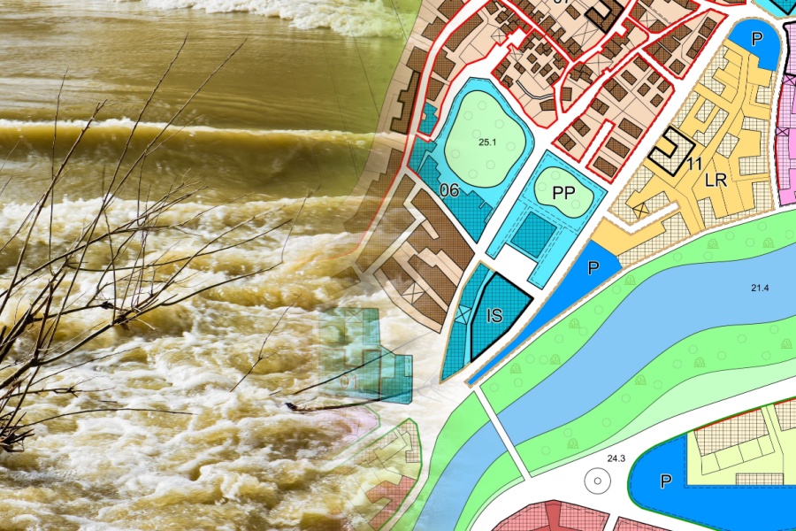
Being a typhoon- and flood-prone country, various organizations in the Philippines have set up flood hazard maps that help people identify flood-prone areas as well as the flood situation during typhoons.
These maps are another great place to become more familiar with the location of the house and lot for sale in the Philippines, especially if you’re an OFW who cannot join an ocular visit.
How do I find my flood zone in the Philippines? One tip is to monitor the floods in the area during the rainy season through your chosen flood hazard map. They should feature color-coded warning features to show you flood-depth in the area.
To get accurate information, check the situation in the area during mild and heavy rains to see whether the area gets flooded easily or not at all.
Where to Find Flood Hazard Maps?
With an average of 20 tropical cyclones entering the Philippine Area of Responsibility yearly, flood hazard maps are crucial to improving the country’s disaster resilience. Flood hazard maps identify an area’s tendency to become flooded and how deep floods are likely to be.
Before you invest in a new home, we’re sure you want to know if Cavite is flood-prone. There are a few flood hazard maps you can refer to before you buy a house in Cavite:
1. PAG-ASA DOST Flood Hazard Map
The Philippine Atmospheric, Geophysical and Astronomical Services Administration (PAG-ASA) is responsible for monitoring the weather, as well as various disasters. Their flood hazard map is one of the tools they use to warn people of impending floods in various areas.
The PAG-ASA DOST flood hazard map shows real-time water and rainfall levels, and subsequently, issues flood warnings.
You can simply drag the map to General Trias and check the legends that have popped up in the area.
2. Project NOAH
Project NOAH is a collaboration between the Department of Science and Technology (DOST) and the University of the Philippines (UP). This flood hazard map uses flood simulations, satellite data, and historical data to determine the flood hazard level, as well as other hazards like landslides and storm surges, in an area up to the street level.
How to know if an area is flood-prone? Enter an area (e.g., General Trias) and then drag the map to find your home’s exact location. There, you’ll find areas highlighted based on their respective hazard levels:
- Yellow for low-hazard levels
- Orange for medium-hazard levels
- Red for high-hazard levels
3. Mapakalamidad.ph
Mapakalamidad.ph is an emergency response and disaster management platform that gathers information about the weather and calamities from user reports. The website presents user reports from social media platforms into a map that’s accessible to all.
You can check this website during rainy seasons to get information about flooding instances straight from the residents of General Trias.
We encourage prospective buyers to follow our home buying guide and check the location so you can assess for yourself if it has a lower risk of flooding and/or has strategies in place to minimize the impact of floods, as Minami Residences does.
See Our Flood-Free Location with Your Own Eyes
Your and your family’s lives will revolve around your home, so it’s only smart to learn how to identify areas prone to flooding so you can avoid investing there.
A pre-selling house in Cavite is not only affordable but also practical in numerous ways – it is conveniently located near schools, malls, and hospitals, and more importantly, it has a lower risk of flooding. So, you can rest assured that your family and assets will be safe during the Philippines’ typhoon season.
Take a virtual tour of our house models or contact us to learn more about Minami Residences.
